A geospatial map has been developed by Government that will help determine the location of people across the island, identify vulnerable persons and respond to their needs before and after a disaster, among other things.
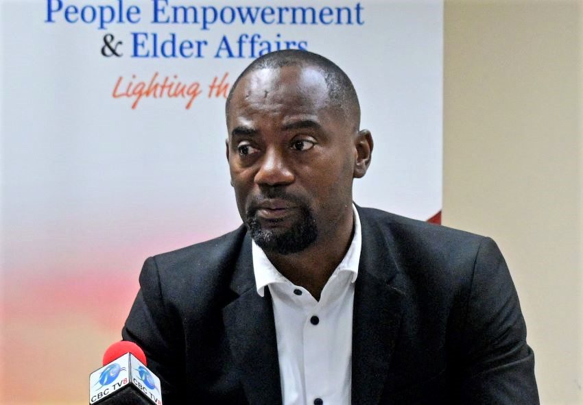
This was disclosed by Minister of People Empowerment and Elder Affairs, Kirk Humphrey, as he addressed a post-Cabinet press briefing at the Barbados Water Authority headquarters, The Pine, St. Michael, yesterday.
Revealing that information gathered by his Ministry from 15,983 clients shows some 17,244 to be vulnerable, Minister Humphrey said: “So, we can tell, for example, if there was to be an event today, where those persons are located. We can tell the bus routes in relation to where the persons are, how close the nearest emergency facility is. Those are the things, and we are moving towards this because it allows us to make decisions faster, whether it is before the hurricane, after the hurricane, before disaster after disaster.”
According to Mr. Humphrey, with this information the Ministry would be able to identify the nature of the issues a person may have, including if the person has a disability, if he or she is elderly; if a house is desperately in need of repair, and if the person qualifies for the Ministry’s One Family Programme, and so on.
While he stressed the idea was to be able to reach the most vulnerable, the Minister made an appeal for persons to come forward who may know where persons are, “who they think are vulnerable”.
Pointing out that all information obtained by the Ministry would be placed in the system and used to make decisions, he said it could also be used to see if the person needs assistance through the Welfare Department.
He noted that those categorised as the most vulnerable stood at 1,508 persons; persons with disabilities are 320, while the welfare clients (active) on the Ministry’s list are 8,623.
Mr. Humphrey said the Ministry was also working with the Department of Emergency Management (DEM) in order to update the list. While urging Barbadians to support the officers who will be working in the field, he urged the public to pass any information on persons considered vulnerable to the Ministry to make the necessary assessment and update the data.
Acknowledging that an up-to-date vulnerable persons list significantly improves response time for delivering support and aid to those most in need, he added: “The idea of geospatial mapping, I think, is a good one because on a computer I can stand from my computer now…and show you where the most vulnerable people in Barbados live. And as we update the list, we get to do more of that. It is going to be very secure but the list allows us to respond before and after a disaster.”
The Minister also noted that since gathering the information, in the last few weeks, there had been an additional 800 persons added to the list. Stating that it is not a “wasted exercise”, he stressed that the information from the DEM would be used to supplement his Ministry’s information to allow them to make adequate decisions.
Persons who wish to contact the Ministry may do so at 536-4673 (HOPE) or via the email ps.people@barbados.gov.bb.