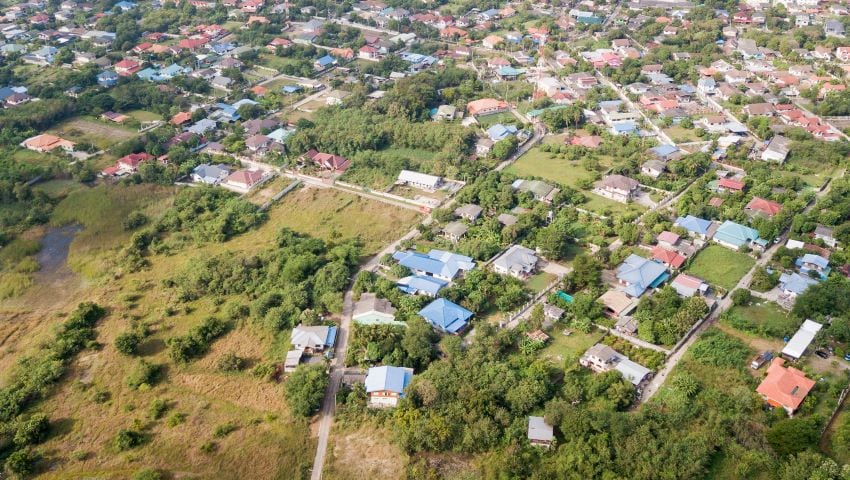
The Ministry of Housing, Lands and Maintenance, through the Lands and Surveys Department, and in conjunction with the Coastal Zone Management Unit, is currently conducting an aerial survey along the northern, western, and southern coastlines of Barbados. The exercise, which began on May 29, will conclude on Wednesday, June 5.
As a result, members of the public can expect to observe a small propeller-driven aircraft flying at low altitudes, in repetitive patterns, during this period. The Ministry apologises for any inconvenience caused.