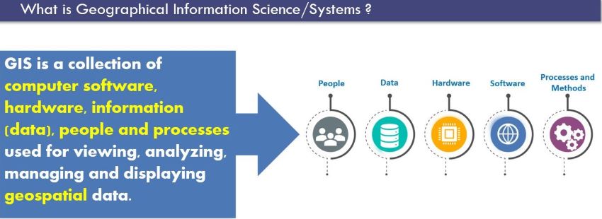
It is an honour for me to be a part of the celebration of GIS Day today. This is the fourth GIS Day being celebrated in Barbados and hosted by the Lands and Surveys Department, where they highlight the power and potential of Geographic Information Systems (GIS) technology.
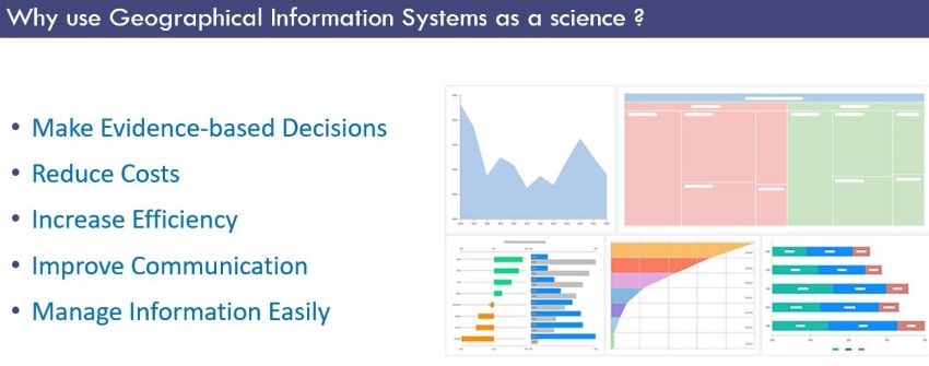
GIS is no longer just considered as computer mapping; it is a technology that allows us to see, understand and transform our societies. GIS helps us to analyze complex data and inform decision-making, using evidence from scientific measurements and models.
As the Minister of Housing, Lands and Maintenance, I am proud of the innovations and accomplishments that my Ministry has made in this field thus far. For example, the Lands and Surveys Department in my Ministry has pursued a number of important transformative GIS projects such as:
- Barbados Building ID
The Barbados Building ID (BBID) is a digital layer of all buildings and structures in Barbados, where each has been assigned an ID number. This allows Barbadians to give the BBID as their location when requiring the delivery of goods and services.
- National Digital Parcel Fabric
The National Digital Parcel Fabric is a complete digital cadastre for Barbados. It is the foundation for a comprehensive land ownership database and a base that can help expedite the ongoing Land Registration Programme.

These are just some of the many examples of how GIS can make a difference in our lives and in our society. But we are not here to only celebrate what we can do with GIS technology, we are also here to envision what GIS can do in the future.
Therefore, our theme, once again, this year is fittingly “GIS: Unlocking the Future” which gives full awareness to the fact that we are existing in a time of unprecedented change and uncertainty. Barbados increasingly faces the effects of complex and interconnected issues such as climate change, pandemics, conflict and other experiences that cause hardships.
To confront these issues, we need innovative solutions that are based on sound evidence and that involve collaboration across sectors and stakeholders. We need GIS to help us to see the big picture, find patterns and trends, identify gaps and opportunities, and plan and monitor interventions.
That is why we must continue to embrace GIS as a strategic tool for societal transformation. We must continue to invest in building our GIS capacity and capability, such as we are doing today by including our students and teachers in our GIS Day Secondary School quiz competition.

Further afield, we must encourage the use and awareness of GIS by our citizens and continue to provide GIS services that match our emerging needs and aspirations.
On this GIS Day, I invite you all to join me in this vision. Let us celebrate the achievements of GIS, but also challenge ourselves to explore new possibilities. Let us take advantage of these technological tools, collaborate on new projects and initiatives and share our experiences and best practices. Let us inspire the next generation of GIS leaders who will shape the future of Barbados with GIS.
Minister of Housing, Lands and Maintenance, Dwight Sutherland
