by Government of Barbados | May 30, 2024 | Ministry News
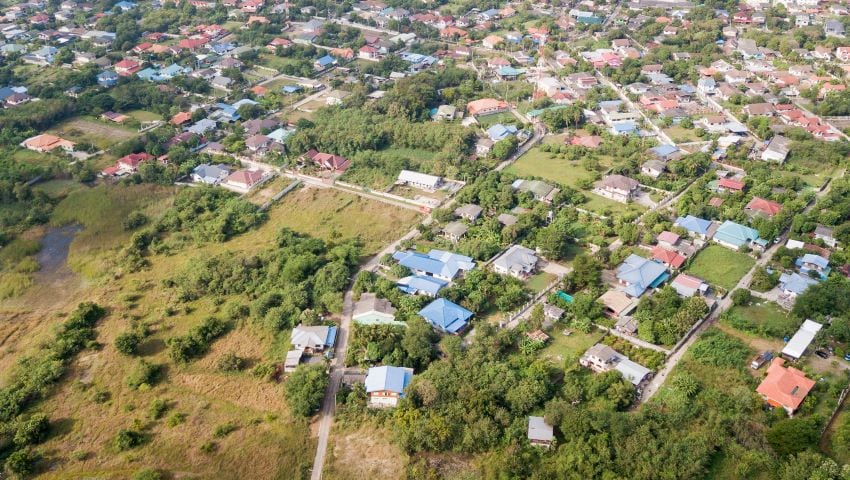
(Stock Photo) The Ministry of Housing, Lands and Maintenance, through the Lands and Surveys Department, and in conjunction with the Coastal Zone Management Unit, is currently conducting an aerial survey along the northern, western, and southern coastlines of Barbados....

by Government of Barbados | Mar 10, 2023 | Ministry News
(Stock Photo) The LiDAR Aerial Survey will now continue throughout the month of March 2023. This Aerial Survey, which was to end on March 6, involves an airplane flying around Barbados. It is being conducted through the Lands and Surveys Department, of the Ministry of...

by BGIS | Feb 28, 2023 | Ministry News
(FP) The public is advised that the Lands and Surveys Department, in the Ministry of Housing, Lands and Maintenance, is conducting an aerial survey from Tuesday, February 28, to Monday, March 6. During this period, persons may notice an airplane flying around the...

by BGIS | Feb 4, 2022 | Ministry News
(Stock Photo) The Lands and Surveys Department has advised that during this month it will be undertaking an aerial survey. As a result, several control points across the island have been selected and marked with white X’s, approximately 3 ft. by 3 ft., on the ground....


