by Dionne Best | Oct 14, 2024 | Top Stories
Minister of Housing, Lands and Maintenance, Dwight Sutherland, praising the work of the Lands and Surveys Department during his remarks at the colloquium at the Lloyd Erskine Sandiford Conference Centre, last Friday. (T. Henry/BGIS) The global achievements of the...

by Joy-Ann Gill | Jun 14, 2024 | Top Stories
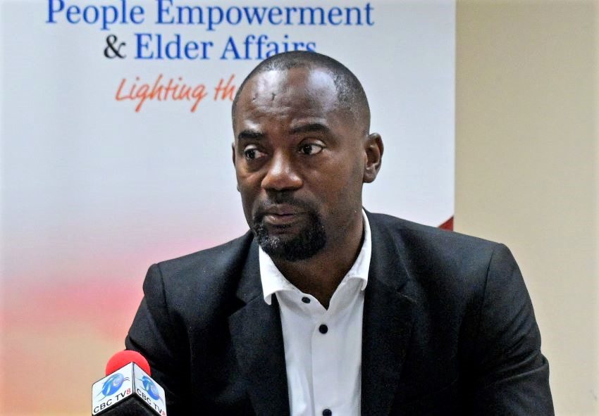
Minister of People Empowerment and Elder Affairs, Kirk Humphrey. (FP) A geospatial map has been developed by Government that will help determine the location of people across the island, identify vulnerable persons and respond to their needs before and after a...

by Fabian Belgrave | Oct 30, 2020 | Top Stories
(Stock Photo) The development, advancement and sustainability of using geospatial data to combat climate change will assist with analysis of natural disasters and economic instability within the region. During a virtual Executive Forum of the Caribbean Geospatial...


